
Copernicus Hackathon “Coding Copernicus”


Within 24 hours, the participants created in teams impressive apps for making cities more climate-resilient, supporting firefighting during wildfires and improving the ecological potential of secondary transportation areas.
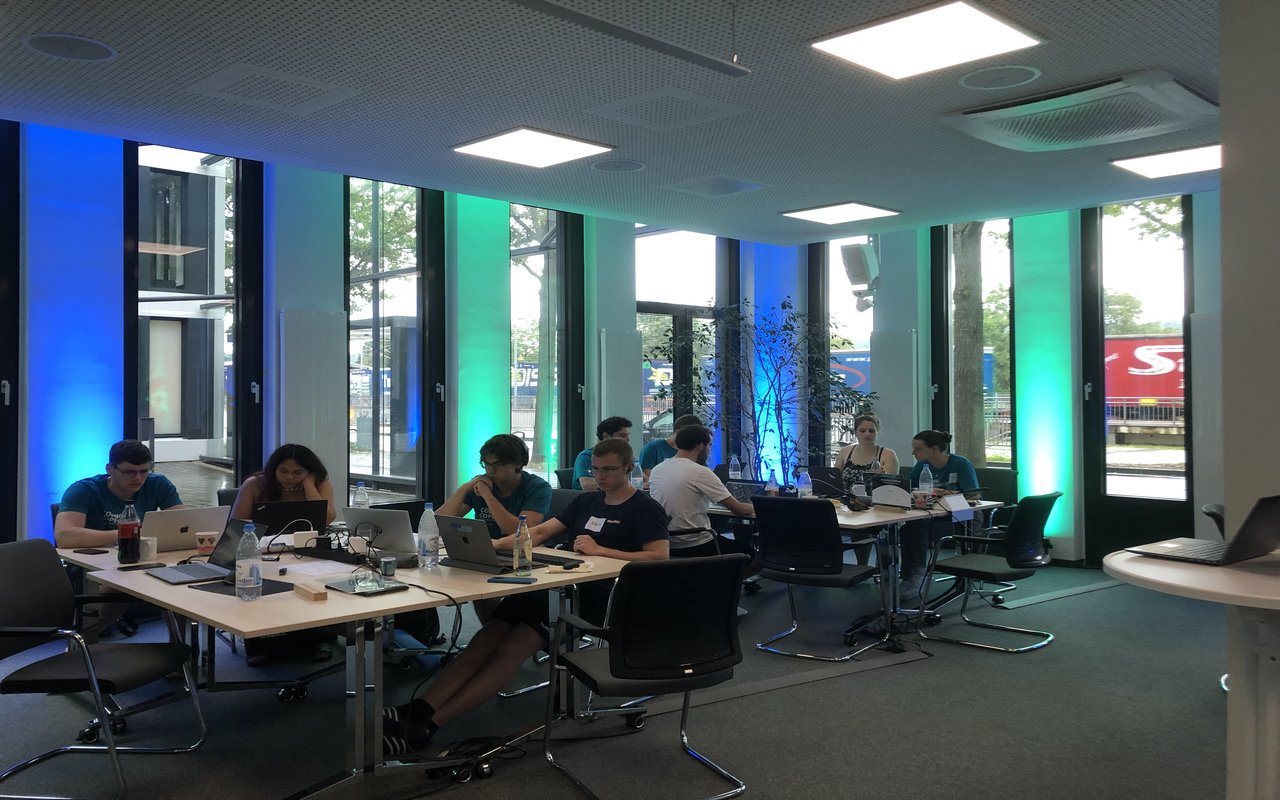
The teams were supported by experts from different thematic areas. After 24 hours of hacking, each team had 5 minutes to convince the jury of their idea.
The first prize went to CoolCity - a fictitious start-up that developed a platform that analyses various data sets for urban planning. Through this tool heat islands can be identified, greening measures planned and potential health risks derived. The second prize went to FIRO, who developed a tool that shows water areas (type, dimensions) that are relevant for aerial firefighting. While the jury awarded the first and second places, the participants decided on the third place themselves. The Habitat Highway Hackers team received the most votes and won the community prize.
The Habitat Highway Hackers studied the ecological potential of secondary traffic areas, which cover about 3 % of Germany's surface. Using Copernicus and traffic data, the team created a web app highlighting which secondary traffic areas would be suitable habitats for animals such as bees or bats.
Videos of the pitches and further information are available by clicking here.
The main achievements are:
- New applications based on the use of Copernicus data
- Number of participants: 45
- Generate solutions and innovative ideas from Copernicus remote sensing data,
- to inspire young scientists for earth observation and promote Copernicus program,
- to push promising ideas,
- to show ways in which the prototypes/ideas developed can be put into practice